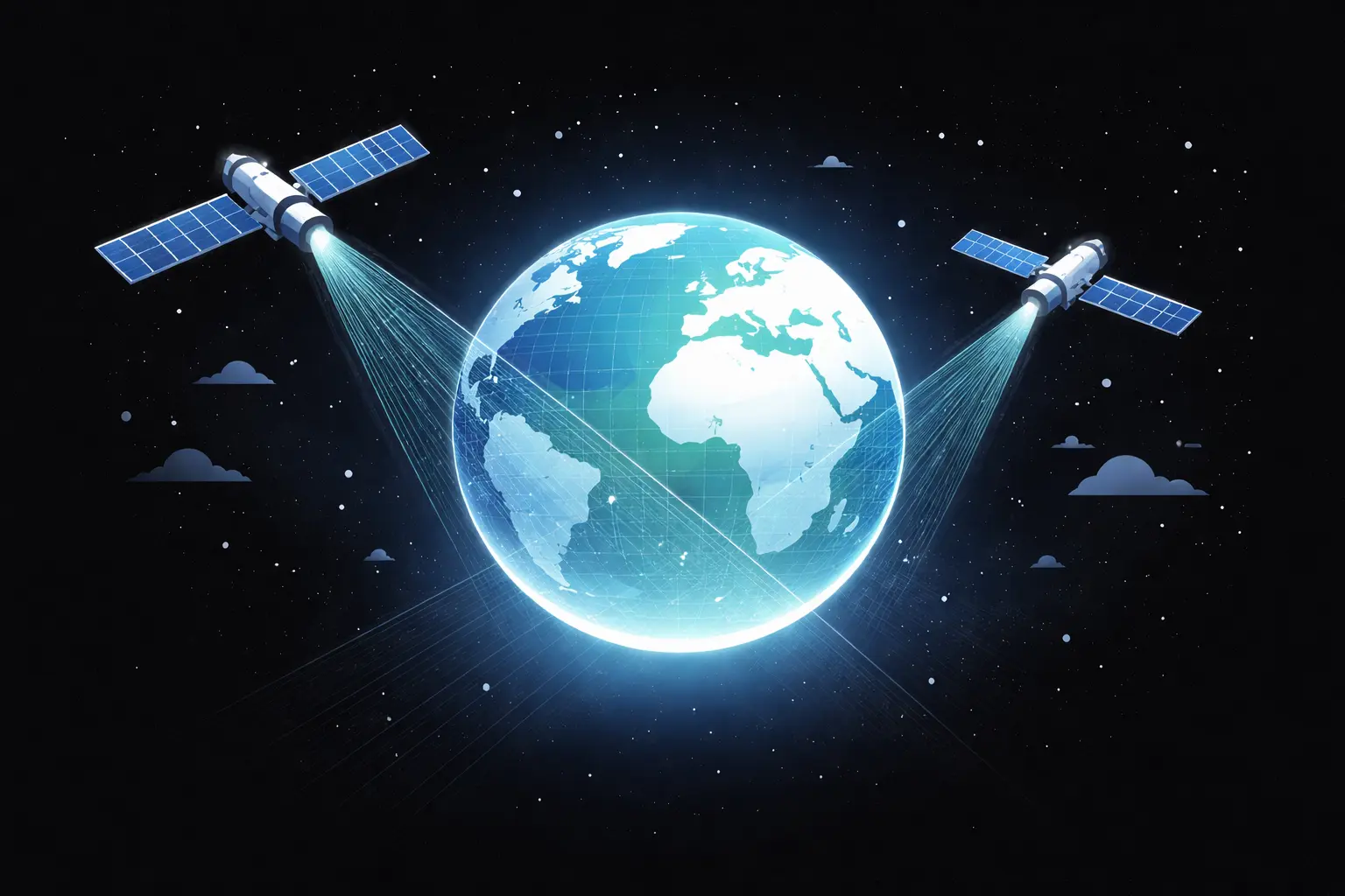
In the race to tackle climate change and transition to sustainable energy, one tool often goes overlooked: satellite monitoring. By observing the Earth from space, satellites reveal global patterns and trends invisible at ground level. This data guides scientists and policymakers toward effective, evidence-based action. Satellites are therefore not just instruments of science, they are instruments of action.
“Satelites are not just instruments of science—they are instruments of action.”
As climate risks accelerate and policy debates intensify in 2026, sattelite Earth observation (EO) from space has become indispensable for sustainability planning. Recent studies, including a global analysis by researchers at the University of Galway, show that satellite data spanning decades can track critical climate indicators, from ice melt and sea-level rise to greenhouse gas concentrations, providing insights no ground-based system can match.
European space programs, led by the ESA Copernicus Programme and Sentinel satellites, now deliver operational Earth observation that informs renewable energy planning, climate adaptation, and sustainable development worldwide.
From predicting flood-prone areas in Rotterdam to guiding drought response in Sub-Saharan Africa, satellites transform data into decisions, connecting science, policy, and action.
In this article, I explore how Earth Observation (EO) enables evidence-based policymaking, supports predictive analytics through AI and machine learning, and contributes to global climate goals, including the UN Sustainable Development Goals. I also discuss systemic risks, highlighting that while space observation is essential, resilience planning is equally important to ensure these tools remain reliable under extreme events.
Since the 1960s, satellites have transformed our ability to monitor the Earth system.
"Since its founding in 1975, ESA has become a hub for operational Earth observation, turning decades of satellite expertise into actionable insights."
From early meteorological satellites to today’s sophisticated EO missions, space-based monitoring allows us to observe changes in temperature, greenhouse gas concentrations, sea ice extent, and land cover globally—data that cannot be captured as comprehensively from ground stations alone.
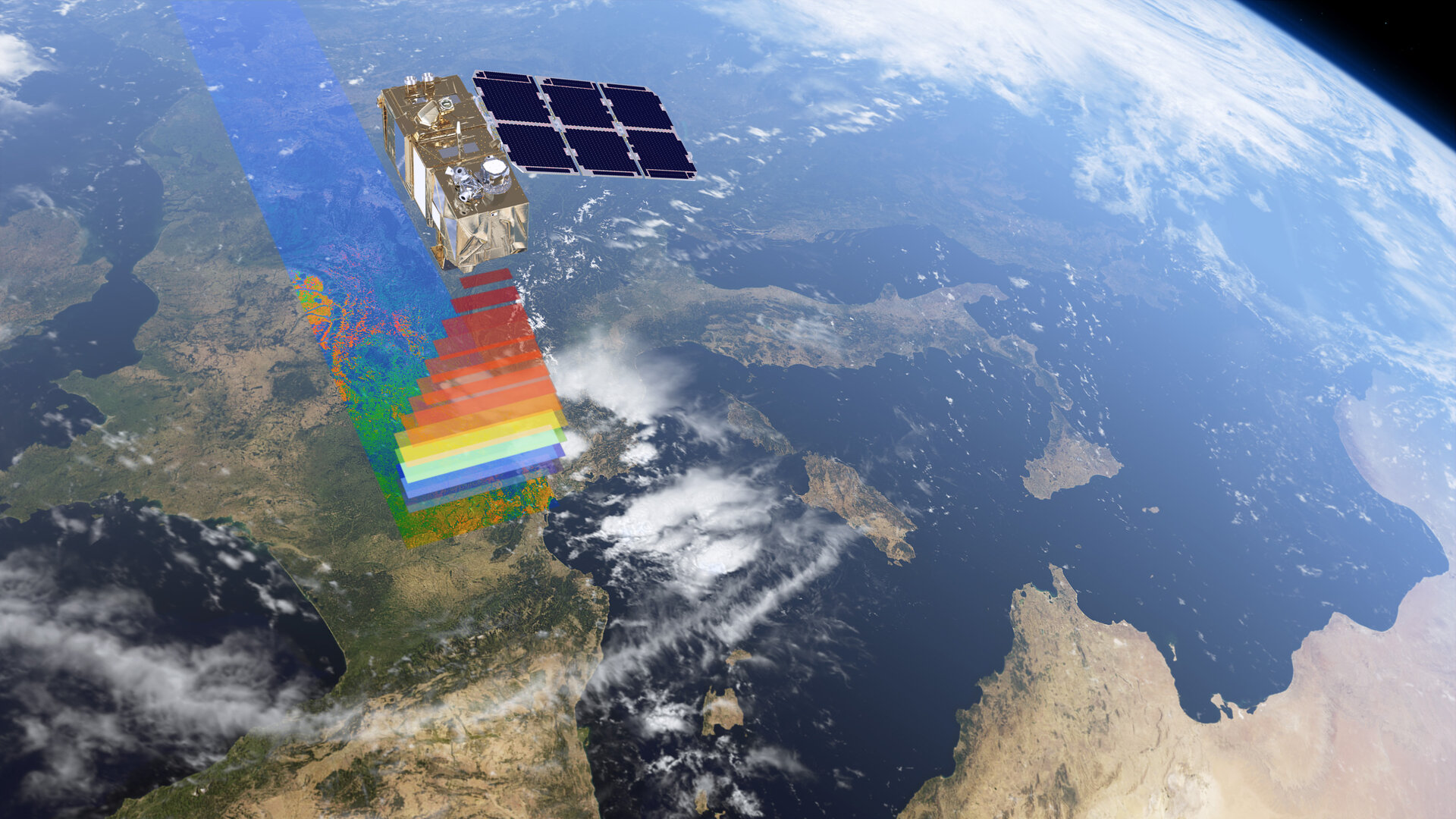
Building on this legacy, the European Space Agency (ESA), founded in 1975, has become a hub for operational Earth observation. Through the Copernicus Programme and its family of Sentinel satellites, ESA provides long-term, high-resolution data on land, oceans, and the atmosphere.
.jpg)
This is not science in a vacuum: Copernicus data informs city planning for flood risk, identifies optimal solar and wind energy sites, supports precision agriculture, and enhances biodiversity monitoring. Free and open access democratizes use, enabling scientists, policymakers, and businesses to turn observations into actionable solutions. You can explore the data yourself through the Climate Pulse dashboard, an interactive web tool hosted by the Copernicus Climate Change Service (C3S).
Complementing ESA, the Space for Climate Observatory (SCO) translates satellite data into operational tools for local and national decision-making. By integrating EO with in situ and socio-economic data, SCO projects produce replicable, policy-relevant tools for climate mitigation and adaptation, showing how space technologies move beyond research into actionable frameworks.
European space policy is increasingly strategic about these capabilities. The European Space Policy Institute (ESPI), an independent think tank based in Vienna that analyzes and advises on European space strategy and policy, highlights the importance of embedding EO in governance.
In its 2025 report A Policy Vision for Earth Observation: Food, Water, Energy, Democracy, Peace Empowered Through Space, it calls for EO to be embedded fully across the policy cycle—from agenda setting to implementation and review. It emphasizes integration into sectoral policies—including climate, energy, environment, water, food security, and urban resilience—to maximize societal, environmental, and economic benefits (ESPI, 2025).
This reinforces that satellites are not just scientific assets but strategic instruments for sustainability and resilience planning.
At the same time, reliance on space infrastructure introduces systemic risks—disruptions in satellites that can affect multiple critical systems at once, such as communications, navigation, energy grids, climate monitoring, and disaster response.
As Palmroth and Hukkinen (2025) note, extreme space weather events could disrupt satellites and the services they provide, impacting the systems we rely on for green and digital transitions. Recognizing these vulnerabilities and planning for resilience is therefore essential.

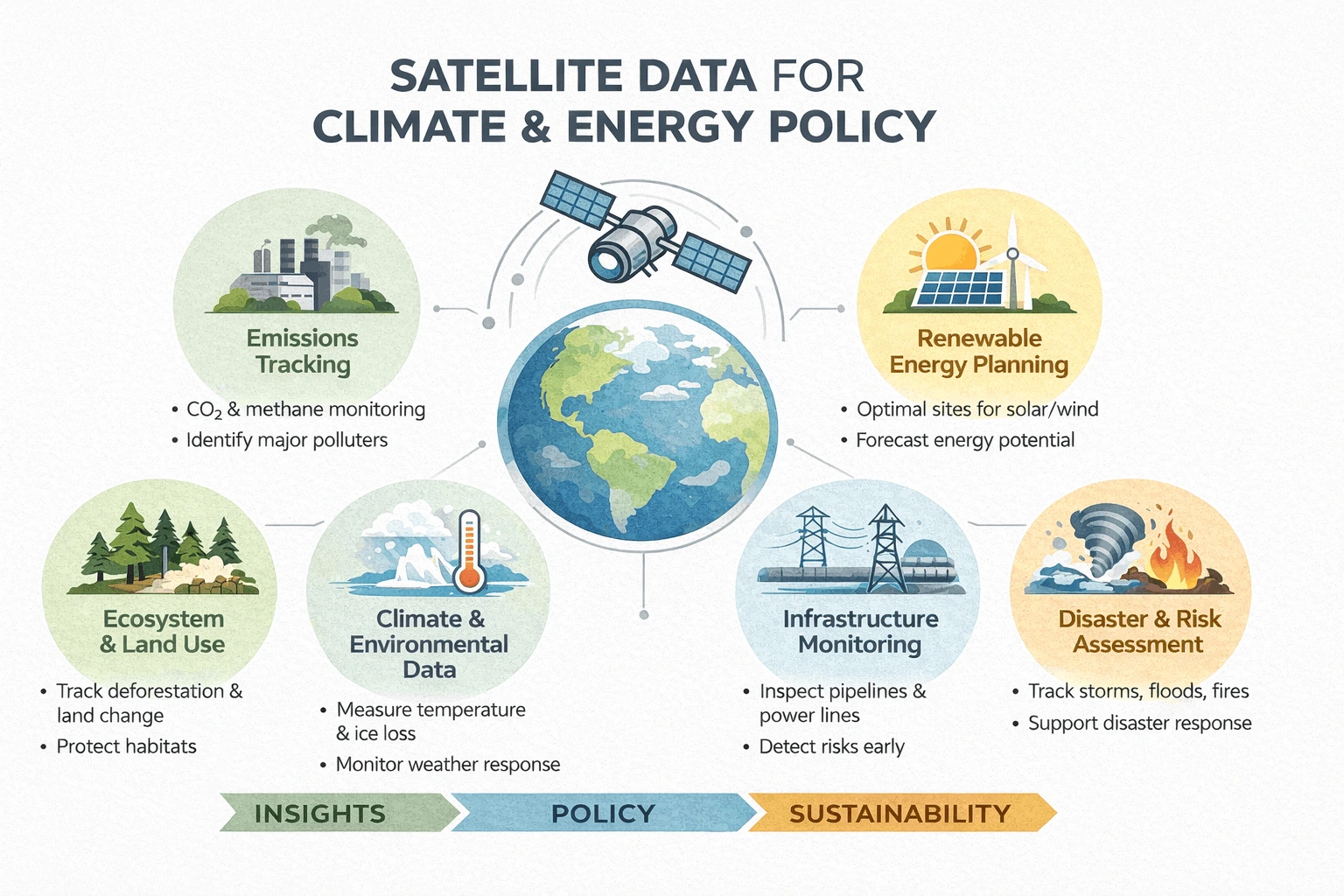
Earth observation satellites play a key role in sustainability, supporting a range of applications that directly inform policy. Here are some of the ways they make an impact:
- Renewable energy planning: Identifying optimal locations for solar and wind farms, monitoring performance over time.
- Climate adaptation and risk mapping: Detecting floods, droughts, and heatwaves, informing local infrastructure planning.
- Environmental policy and compliance monitoring: Tracking emissions, deforestation, and land-use changes to support regulation and international reporting.
- International collaboration: Supporting EU climate targets and tracking progress on SDGs, particularly SDG 7 (Affordable and Clean Energy), SDG 13 (Climate Action), SDG 14 (Life Below Water), and SDG 15 (Life on Land).
Long-term datasets allow policymakers to spot trends and model future scenarios, bridging the gap between scientific insight and real-world decisions. EO positions ESA as a policy-relevant data provider, enabling evidence-based action rather than purely academic research.
Below: check out the Earth Observing Dashboard, a joint initiative by the European Space Agency (ESA), the National Aeronautics and Space Administration (NASA), and the Japan Aerospace Exploration Agency (JAXA).
The landscape of EO is evolving rapidly, powered by technological advances:
- Artificial Intelligence and Machine Learning: Unlocking patterns in vast EO datasets to improve forecasting and decision support.
- Integration of satellite & in situ data: Enhancing climate models and predictive capabilities.
- Multi-sector applications: Feeding into energy optimization, agriculture systems, urban planning, biodiversity preservation, and disaster risk reduction.
- UAV and drone integration: Providing ground-truthing and filling observational gaps satellites alone cannot capture.
Emerging computational and data fusion techniques are turning EO into a predictive, actionable system, rather than a passive information repository.
These trends highlight the growing importance of EO in operational sustainability and resilience planning.
But as we rely more heavily on these advanced technologies, one question remains: could our dependence on satellites and AI create new vulnerabilities we aren’t yet prepared for?
ESA’s impact extends far beyond data collection, shaping European and global climate governance. Satellite EO informs climate strategies at national, EU, and international levels, supporting SDG reporting and Paris Agreement commitments.
By embedding space-based insights into policy cycles, ESA and its partners accelerate evidence-based decision-making and foster international cooperation.
Key ways ESA makes a global impact:
- Supporting Sustainable Development Goals (SDGs): Tracking climate, energy, water, and biodiversity indicators.
- Guiding international climate policy: Providing data to inform EU strategies, UN reporting, and Paris Agreement targets.
- Strengthening disaster preparedness: EO data helps predict floods, droughts, and heatwaves, guiding resilient infrastructure planning.
- Optimizing renewable energy planning: Identifying optimal locations for solar and wind energy deployment worldwide.
- Promoting research & innovation: Collaborations with universities, startups, and research institutes leverage EO data for AI, climate modeling, and environmental monitoring.
Collaborations with NASA, SCO, and multilateral frameworks like UNOOSA amplify European EO capabilities, ensuring that EO data is a cornerstone for global climate action.
Ultimately, these efforts reinforce the idea that space technologies are essential tools for planetary-scale sustainability and adaptation—helping policymakers, scientists, and communities turn data into action.

"Satellites are no longer optional—they are the backbone of 21st-century climate and energy policy.”
Having worked at a carbon footprint reporting company and supported clean energy projects in the Global South, I’ve witnessed firsthand how data matters—not just for understanding emissions, but for reducing them, whether they are direct or indirect. Satellite monitoring allows governments and organizations to predict renewable energy potential, optimize industrial efficiency, and design climate-resilient infrastructure. It informs compliance with environmental standards and guides strategic investments in sustainable technologies.
Yet, satellites are not a panacea. Space weather, orbital congestion, and system failures can disrupt these critical services. Understanding these vulnerabilities is as important as leveraging the data they provide.
What excites me most is the fusion of ESA’s scientific expertise, SCO’s operational tools, and strategic policy visions from think tanks like ESPI. Together, they turn streams of data into actionable insights, enabling decisions that reduce emissions, protect ecosystems, and advance sustainable energy.
Satellites are no longer optional—they are the backbone of 21st-century climate and energy policy. Every pixel they capture carries the potential to guide our planet toward resilience, sustainability, and a more equitable future. Ignoring this perspective is no longer a choice; embracing it is imperative.